Services
– Grazing management plans
– Rangeland carbon sequestration
– Rangeland monitoring
– Auditor for conservation agreements
– Wetlands enhancement
– Prescribed fire
– Natural Resources Inventory collection
Certifications
– Range Management Consultant, Society for Range Management #C05-01
– Rangeland Manager #28, State of California Board of Forestry and Fire Protection
– Professional Carbon Sequestration Verification on Rangelands
– Ecological site description training
– Assessment, Inventory and Monitoring (AIM) Strategy
KEY PROJECT
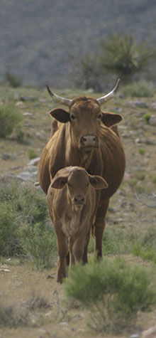
Natural Resource Conservation Service, National Resources Inventory Rangeland Field Study
We collect rangeland data on soil and vegetation to determine land use and ecological trend on lands throughout various counties of California. Contributing to this comprehensive database aids the U.S. Federal Government in the development of effective conservation programs and directs attention to natural resource issues.
Illustration © Terry Lockman