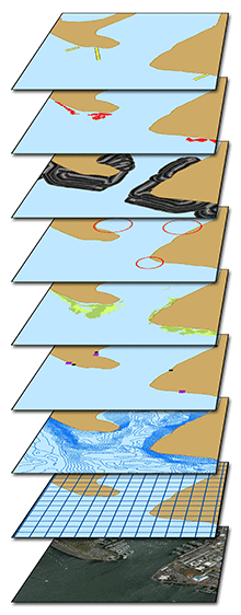
DATABASE AND GIS
When you collect the amount of data that we do, you become proficient in the handling, analysis, and visualization of virtually any environmental data type. Tierra Data scientists have participated in developing long-term ecological data standards for programs throughout California. Our programmatic approach to managing large volumes of data leads to faster integration, more meaningful analysis, and an overall increase in data quality.
In-house Services
– Desktop and mobile GIS options
– Trimble DGPS units
– Relational database services
– Custom field form creation
– Data processing, QA/QC
– Data integrations services
– Electronic form creation
– Data visualization
Site-specific Data Collection and Management Systems
Our scientists can design custom electronic field forms using off-the-shelf technologies for rapid deployment and reduced implementation costs. Our experience collecting and managing environmental data has helped us develop efficient means of gathering and reporting data to clients and regulators.
We maintain several ESRI ArcMap© and ArcPad© licenses, including the spatial analyst and 3D analyst extensions for advanced GIS analysis.
At TDI, we believe quality environmental support is a function of addressing concerns before they happen, on-time deliverables, and constant client support. We are committed to helping our clients maintain their existing data, newly collected data, and intergating multiple data sources efficiently and effortlessly.
Illustration © Terry Lockman


