
The Tierra Data team of professionals provides a comprehensive, high quality marine environmental service line for both public and private sector clients.
Permits & Certifications
– Scientific Collectors Permits
– NMFS & CDFW Certified Caulerpa Surveyors
Capabilities
– Sediment
Years of Experience and Innovation Serve Your Project
Tierra Data provides expert consultation during every phase of the project from the initial planning and study design, to the final report. Our staff of marine scientists ensures our clients receive scientifically sound recommendations from professionals who specialize in these environments.
We are singularly focused on providing a cost-effective, long-term partner to our clients, assisting them in effective and sustainable long-term management of their environmental resources.
Over the years Tierra Data scientists have performed hundreds of marine investigations, spanning the breadth of coastal survey types. Our project experience in California includes all of the Channel Islands, and extends from Humboldt County to San Diego Bay.
We helped pioneer the implementation of single beam sonar techniques for the high resolution mapping of underwater habitat and vegetation for in-water projects, including the impact analysis of pipelines and cables in marine subtidal communities to achieve site specific permit requirements.
Tierra Data is an organizational member of the American Academy of Underwater Sciences and maintains an accredited scientific diving program, various research vessels, sonars, and mapping equipment that facilitate a broad range of technical applications.
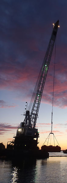
Photo © Tierra Data
Illustration © Terry Lockman